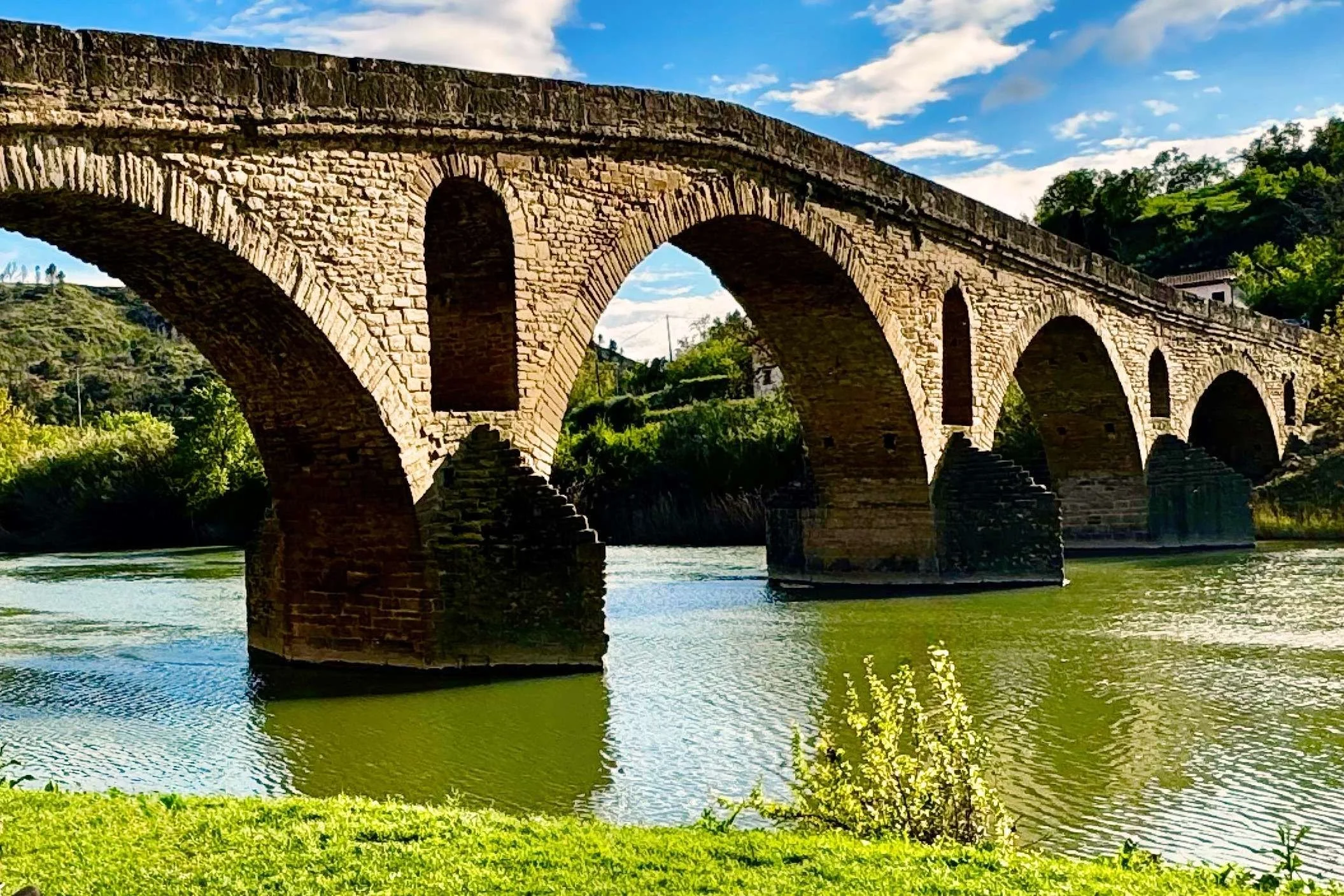
Camino Francés Stage 5: Pamplona to Puente La Reina
TRAIL NOTES
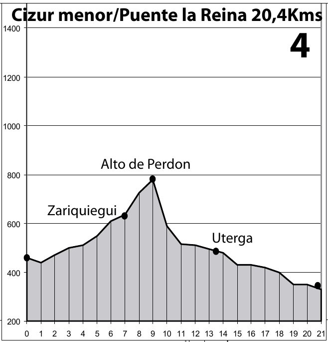
Camino Francés Elevation
The entire day is a steady uphill climb to Alto de Pedon. Take water and snacks with you .
-
Distance: Approx. 24–25 km (15 miles)
Difficulty: Moderate tHard (4 out of 5)
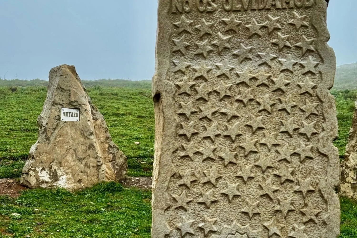
Highest Point: Alto del Perdón, 740–770m (2,526 feet)
Terrain: Mixed gravel, paved, and steep, rocky paths (especially on the descent).
Time: 5–6.5 hours
Alternative Transportation: available buses and taxis to the next stage
-
There are no stops between Cizur Menor and Alto del Perdón. Plan ahead.
Carry enough water (at least 1.5–2L).
Cafés/bars: There are several places to stop for food and water between Alto del Perdón and Puente La Reina.
-
Albergue Estella Guia Solo Peregrinos: 25 €
Hostel Zubi XXI: 30–60€
Albergue Puente Para Peregrinos: 32–46€
Personal recommendation: Albergue Guia Solo Peregrinos.
Nearby essentials: 10 minute walk to stores and cafe.
-
Plan ahead—bring water.
There is very little shade. Most of the day is spent climbing treeless hills and fields. Wide-brimmed hats help with the sun.
The top of Alto del Perdón is very windy and cold. Plan for this.
The descent is steep with large, loose rocks. Trekking poles are recommended.
Alternative transportation: available bus and taxi to the next stage

JOURNAL
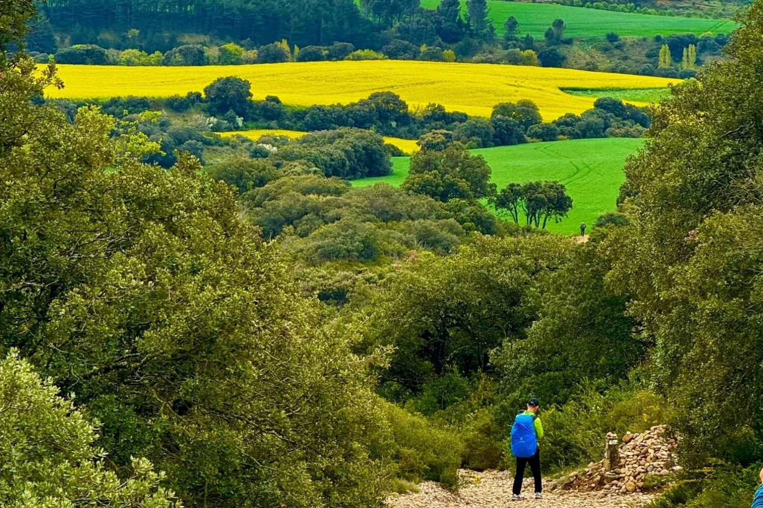
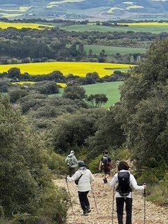
Today, I found myself struggling up the hill to Alto de Perdón. No photo can truly capture the feeling of walking through lush green fields filled with bright yellow rape seed flowers swaying in the wind. There’s a profound peace in these open fields and wide expanses of sky. - That Eva!