Camino Frances Stage 12: Belorado to Atapuerca

Trail Notes
Camino Francés Elevation
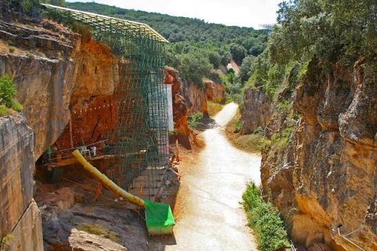
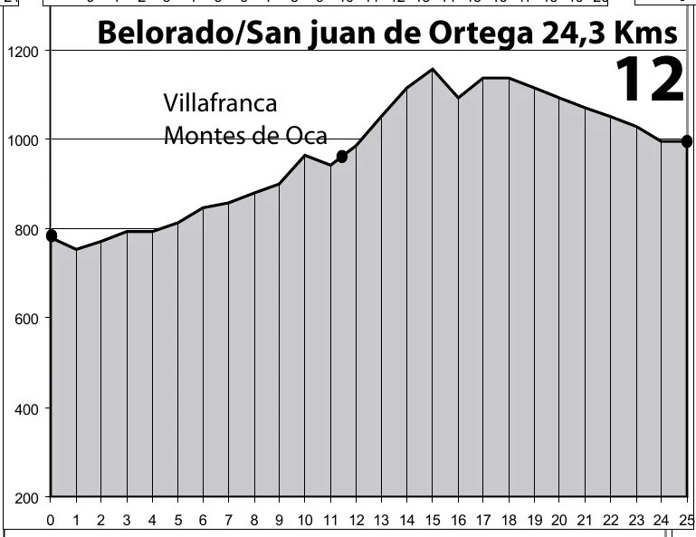
I passed Belorado to stay in Atapuerca to have time to tour the museum. Atepuercas is a UNESCO World Heritage site. You will see the elevation to Atapuerca on the following stage elevation chart.
-
Distance: Approximately 30–31 km (roughly 17.5 miles).
Time: Often takes 7–10 hours.
Difficulty: Hard to moderate, largely due to the length and a steep ascent through the forest.
Alternatives: Busses and taxis are available
-
Tosantos (km 5): A small village
Villambistia (km 6.7): Known for its church of San Esteban .
Espinosa del Camino (km 8.3): A small village.
Villafranca Montes de Oca (km 11.8): Last water stop! Rest stop for water and food before a long, 12-km, lsolated, and steep ascent through forest roads.
-
Albergue INpulso Atapuerca: 13–50€ dorm/private room (recommend)
Albergue El Peregrino Atapuerca - 14€-50€
-
WARNING: This is a long, challenging day..Take a significant rest at Villafranca Montes de Oca. Stock up on water and snacks.There is a long stretch of ascending climb through the forest before you reach San Juan de Ortega.
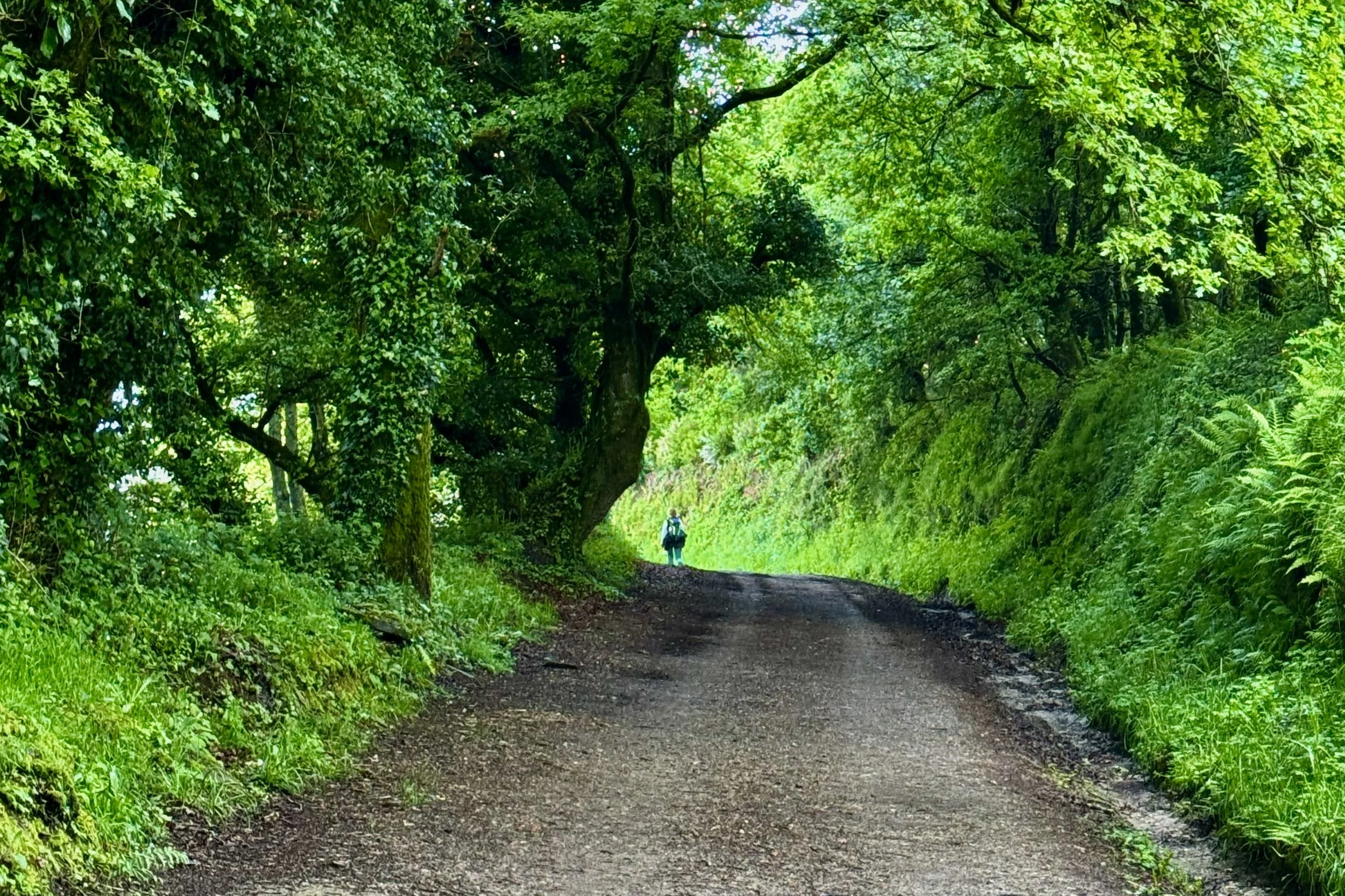
Montes de Oca Forest: Pay attention to the foliage as you walk through the forest. You will see wild thyme, sage, lavender, and various herbs. The colors in the forest are subtle but beautiful.
Journal
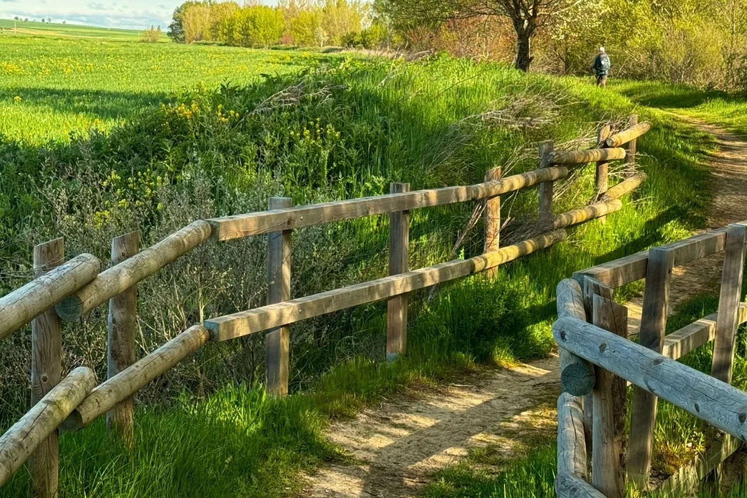
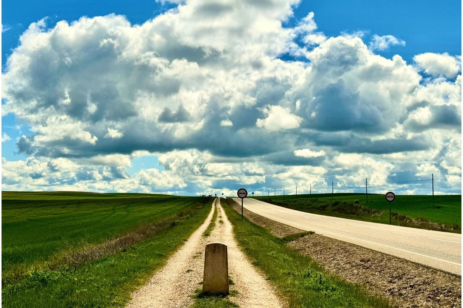
The Camino is very safe. Regardless, never let your guard down. Today I found myself walking through a very isolated forest. I didn’t see any pilgrims the entire time. Luckily, I headed out of the last town with another pilgrim, who kept me company through the 12 km walk through the forest. When you’re not familiar with a trail, always leave with groups of hikers. ~That Eva!
PACKING LIST POST. START HERE POST